
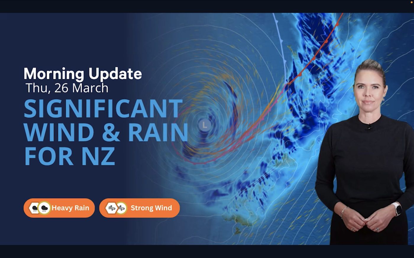
A vigorous subtropical low sweeping in from the west is making itself felt from one end of New Zealand to the other, hauling heavy rain and strong easterlies across the country as it tracks through. No isolated squall or regional inconvenience, this is a genuine nationwide weather event, arriving with force.
Northland is bearing the worst of it. A red heavy rain warning covers the area east of Kaikohe, stretching from Doubtless Bay south to Whangārei, with thunderstorms possible as the day progresses. North of Auckland, easterly winds are forecast to build to gale force, with gusts in exposed locations expected to reach around 120 km/h.
Rather than easing as the morning wears on, conditions are deteriorating. Rain spreads eastward and settles in, and by midday much of the country will be sitting underneath it. The lower North Island is in for a particularly wet day. Heavy falls are expected in Taranaki, with Manawatū copping its share through the afternoon. Hawke's Bay and Gisborne may hold onto some early brightness, but that window closes quickly as the rain band pushes through. Further south, there is no easy escape either, with gusty easterlies and persistent rain working their way across the South Island as well.
Some weather days offer a window you can plan around if you are patient. Not today. Strong winds, reduced visibility, and unsettled seas mean even short coastal passages are going to be uncomfortable at best. Bar crossings and exposed stretches will be particularly challenging, and the margin for error is slim.
If there is no pressing reason to be on the water today, the sensible call is to hold off. Let this system track through, check the forecasts again tomorrow, and pick your moment when the conditions are actually on your side.